-
Address: 39-41 Assembly Street
Edinburgh EH6 7BQ -
Call Us: +44 0 131 510 5152
info@picsea.co.uk
Navigating the Enigmatic Ocean World
Beneath the ocean’s surface lies a mysterious world, largely uncharted and brimming with mysteries. To unravel these secrets and explore the deep sea, we rely on precise and innovative mapping techniques. In this page, we delve into the realm of deep sea mapping with PicSea’s advanced AUVs, which provide unparalleled insights into this captivating marine domain.
Navigating the Abyss: How Our AUVs Revolutionize Deep Sea Mapping
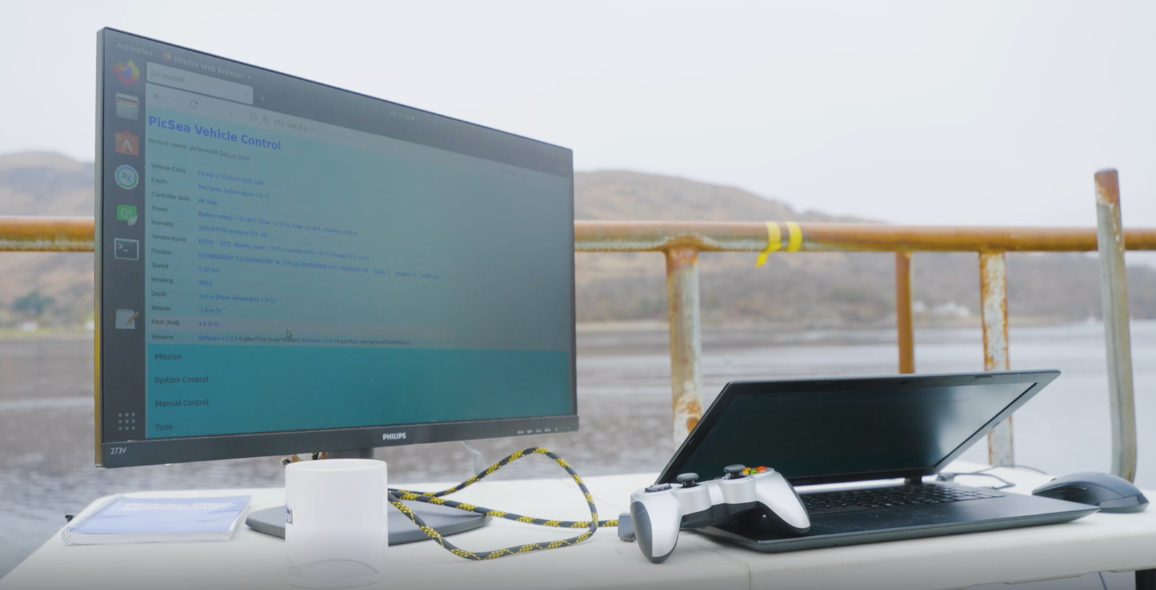
PicSea’s AUVs, or Automated Underwater Vehicles, play a pivotal role in our deep sea mapping endeavors. These autonomous marvels are equipped with cutting-edge technology, enabling them to navigate the depths with unparalleled precision. By employing sonar, cameras, and advanced sensors, they meticulously craft detailed seafloor maps, capturing every contour and feature.
Underwater Mapping
In the world of underwater exploration, our AUVs take center stage in deep sea mapping. Their exceptional maneuverability and precise data collection set them apart. Whether we’re mapping underwater geology, scouring for shipwrecks, evaluating the status of underwater infrastructure, or researching marine ecosystems, our AUVs consistently deliver accurate and comprehensive data.
Navigating Uncharted Waters: An Expedition into the Unknown
Deep sea mapping transcends the mere collection of data; it’s a voyage into uncharted waters. With PicSea’s AUVs, we embark on an expedition that unveils seafloor landscapes previously shrouded in mystery. These meticulously crafted maps not only aid scientific research but also provide crucial support to industries such as offshore energy, telecommunications, natural gas, and environmental conservation.
Unlocking Scientific Insights: AUVs’ Role in Deep Sea Discovery
Deep sea mapping with our AUVs has led to the discovery of exceptional phenomena. From the bustling communities surrounding hydrothermal vents to historic shipwrecks preserving maritime history, our maps offer invaluable insights. Researchers, scientists, and conservationists alike reap the benefits of the extensive data generated by these expeditions.
Forging the Path Forward
In the ever-evolving field of oceanic exploration, PicSea’s AUVs serve as pioneering instruments in mapping the ocean’s depths. Their precision, efficiency, and adaptability to challenging environments make them indispensable tools. At PicSea we’re not merely uncovering the ocean’s mysteries; we’re paving the way for a profound comprehension of our planet’s most elusive frontier. Join us in this thrilling journey as we continue to chart the uncharted and reveal the secrets of the deep sea.